 I parked as close to the ramps as possible. This looks like no-man's land, but there's actually a nice new-construction neighborhood right around the corner from where I parked, with the ramps in view right behind the new houses.
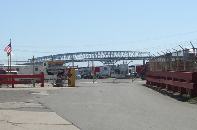 Here's the Betsy Ross Bridge off in the distance. The Pulaski Expressway was to have been the main approach to the Betsy Ross on the Philly side.
 Here we are looking up underneath the ramps connecting the Betsy Ross to I-95, North and South. I believe these two ramps serve traffic coming off the Betsy Ross from NJ.
 Here's a first look at the Evel Knievel ramp. We'll get a closer look later...
 We're standing on Richmond Street looking toward the Betsy Ross. This ramp serves the stub of Route 90 that exists between the bridge and the Evel Knievel ramp. The ramps are behind me and to the right.
 Here's the in-use stub of Route 90 as it passes over Richmond Street. As you can see, it's a wide roadway.
Back under the ramps, here they are curving out over 95. You can get a sense here of how truly massive these structures are.

Here's a closer look at the Evel Knievel ramp. This was to be the main roadway of the Pulaski Expressway, which would pass over 95. There are also a few unused concrete supports on the median of 95 that align with this roadway, which would have carried it over 95.

Here we are right under the split point for the ramps to 95 N and S.
 A ramp coming from 95 as it leaves ground level.
 Now let's see one from the top. I'm making a left from Aramingo Avenue. You can see the street sign just says "Ramp XY". This roadway I'm turning onto is actually newer construction. Originally there were several more unfinished ramps that were meant to serve the Pulaski Expressway. In the '90s, after it became clear that the Pulaski wasn't going to happen, the ramps were redesigned and finished to connect to Aramingo Ave.
Heading up the ramp...

Quite a view from the top.

And now we're heading down onto 95 S.
The Pulaski Expressway was to have connected to Roosevelt Boulevard/Route 1 somewhere near Adams Ave, but the plans were scrapped in the early 1980s after opposition from residents and regulators. If the Pulaski plans had gone through, as well as the plans to extend the Roosevelt Expressway further along the at-grade Boulevard section, there would have been a continuous freeway loop consisting of 95, the Vine, the Schuylkill, the Roosevelt Expwy and the Pulaski Expwy. Instead, we still have the Boulevard with its dangerous intersections, and we have to cut through surface streets to go from the Boulevard to 95.


